standards
Environment Agency updating river modelling standards, survey closes 6 November
The Environment Agency has opened a short consultation survey on its Fluvial Modelling Standards, the best practice guidance on how hydraulic models are built and reviewed in England, with the full update due by the end of 2027.
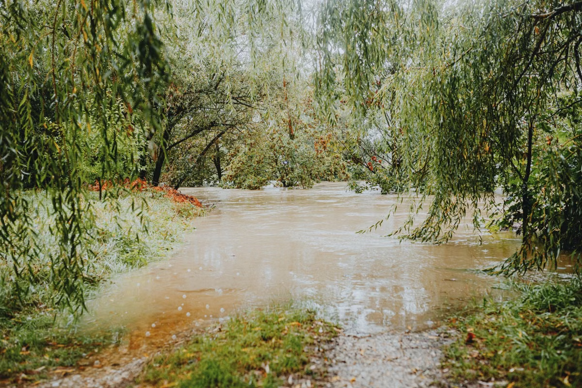
The Environment Agency said on 2 November 2026 that it is updating its Fluvial Modelling Standards, the guidance that sets out how hydraulic river models are built and reviewed in England, and has opened a consultation survey that closes on 6 November.
The agency said the update should be completed by the end of 2027. The survey, published on the standards' GOV.UK page alongside the announcement, is intended to inform the update, according to the Department for Environment, Food & Rural Affairs (Defra) and the Environment Agency.
The standards were first published on 13 August 2021 and apply to England. The Environment Agency said it created them for hydrologists, hydraulic modellers, model reviewers and project managers.
What the standards cover
The guidance comprises five HTML documents: who the standards are for, model approach, source (flood flow estimation), pathway (river channels, floodplains and pipe networks) and receptor (buildings and infrastructure).
The Environment Agency describes the standards as techniques for hydrological analysis and hydraulic modelling. It said they help users build hydraulic models using the source, pathway, receptor and model approach concept, review models and maintain consistency across the flood risk management industry.
Under the model approach standard, modellers must be able to demonstrate that their chosen software is suitable for the intended use, and benchmarking tests are available to show this. Where benchmarking is run independently, the Environment Agency said it will need to review the results before the software is used on a project.
The same standard sets a calibration benchmark: a well-calibrated model should match reliable recorded peak data, typically to within plus or minus 0.15 metres. It also describes 1D, 2D and combined 1D2D hydraulic models, noting that 2D models bring longer run times and large output datasets, while 1D2D models combine the benefits of each dimension.
The agency's change history shows that in December 2023 it removed information on specific modelling software from the section on finding an appropriate platform, and added information on coastal modelling.
Assessment tool
Alongside the standards, the Environment Agency offers a Microsoft Excel-based fluvial model assessment tool (LIT56342), which it said helps users assess the quality of a hydraulic model without completing a full technical review. The agency said using the tool does not exempt a modeller from needing a technical review. A PDF version of the standards (LIT56326), with more background and technical language, can be requested by email.
Coastal standards and national risk data
The fluvial update follows the Environment Agency's publication of separate coastal modelling standards (Version 2.0) on 8 May 2026, covering how to build and review non-real time open coast flood models. The agency said real-time open coast flood modelling is not included in that document. A link to the coastal standards was added to the river modelling page on the same day.
Separately, the agency's December 2024 national flood and coastal erosion risk assessment found 6.3 million properties in England are in areas at risk of flooding from rivers, the sea or surface water, with around 2.4 million at risk from rivers and the sea. The agency said the total could rise to around 8 million by mid-century with climate change.
The Environment Agency said it built bespoke software for that assessment to integrate detailed local flood risk models, both its own and those of local authorities, into a national picture. Julie Foley, Director of Flood Risk Strategy at the Environment Agency, said the agency had transformed its understanding of flood risk by drawing on "improved modelling and technological advances".
The work also sits alongside the agency's flood hydrology roadmap, published in March 2022, which covers England, Wales, Scotland and Northern Ireland from 2021 to 2046. The Environment Agency said it had secured £6.9m over six years to start delivering the roadmap.
The consultation survey on the Fluvial Modelling Standards closes on 6 November 2026.
On the record: Environment Agency
Sources
- Department for Environment, Food & Rural Affairs and Environment Agency (GOV.UK) (opens in a new tab) (accessed 2026-11-02)
- Environment Agency (GOV.UK) (opens in a new tab) (accessed 2026-11-02)
- Environment Agency (GOV.UK) (opens in a new tab) (accessed 2026-11-02)
- Environment Agency (GOV.UK) (opens in a new tab) (accessed 2026-11-02)
- Environment Agency (GOV.UK) (opens in a new tab) (accessed 2026-11-02)
- Environment Agency (GOV.UK) (opens in a new tab) (accessed 2026-11-02)
This story was researched from the primary sources above and checked against them before publication. Spotted an error? Tell us and we will correct it promptly.